Cité De Pierres 7Cité De Pierres 7
©Cité De Pierres 7

Hiking in the Cité de Pierres

Les sentiers de l'imaginaire

A choice of 6 marked trails from 1 to 3 hours’ walk in Europe’s largest rock labyrinth.

Explore the trails

of the Cité de Pierres

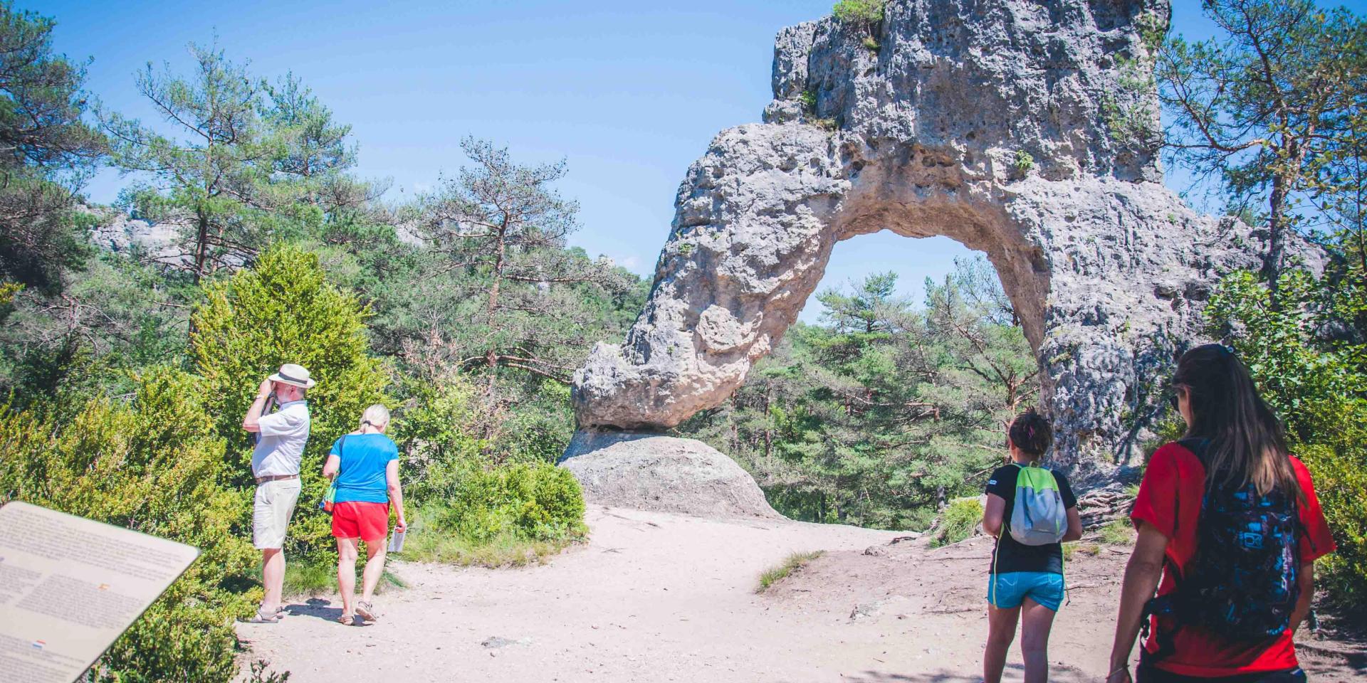
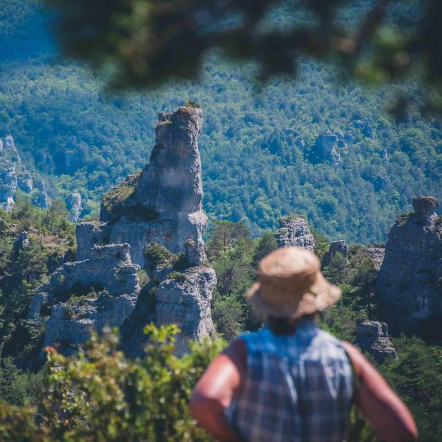
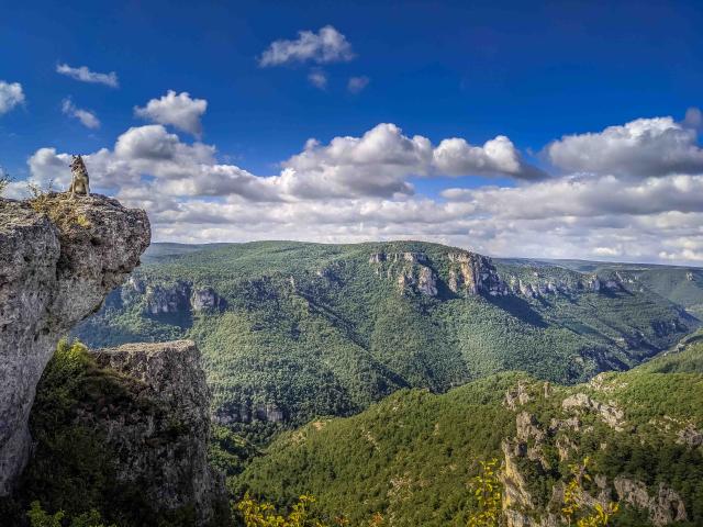
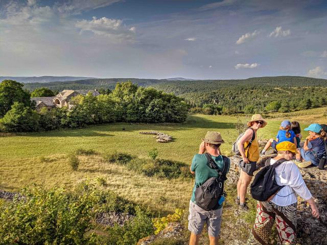
Sometimes in the undergrowth, on ridges, at the bottom of a labyrinth of narrow canals, or on a balcony on the edge of the Gorges de la Dourbie, offering magnificent scenery over the Grands Causses, come and discover the largest rocky chaos in Europe on your own or guided by a mountain guide.

Adapted hikes

at every level!
  • Le Belvédère

    Duration 50 mins; green signposting, the easiest as it’s virtually flat, it passes by the Belvédère, a balcony suspended above the deep Gorges de la Dourbie, then stops at the Baume obscure for a video projection; return possible by little train.

  • Le Château Gaillard

    Duration 40 mins; purple signposting; optional loop that takes you on a balcony tour of the Gorges de la Dourbie; stop at the magnificent viewpoint overlooking the majestic profile of the site.

  • The Shady Forest

    Duration 30 mins; yellow signposting; optional loop for an undergrowth hike amid strange rocks.

  • Les Remparts

    Duration 50 mn; red signposting; panoramic ridge leading to the summit of the site at 840 m altitude; orientation table.

  • The Arboretum

    Duration 40 mins; orange markers; sports trail leading to the Arborétum and its 16 species of Causse trees.

  • The Labyrinth

    Duration 30 mins; blue markings; faults 1 metre wide and 50 metres high, always cool even in summer!

Our adventures

Explore the Millau Grands Causses – Gorges du Tarn region

Guided hikes

at Cité de Pierres

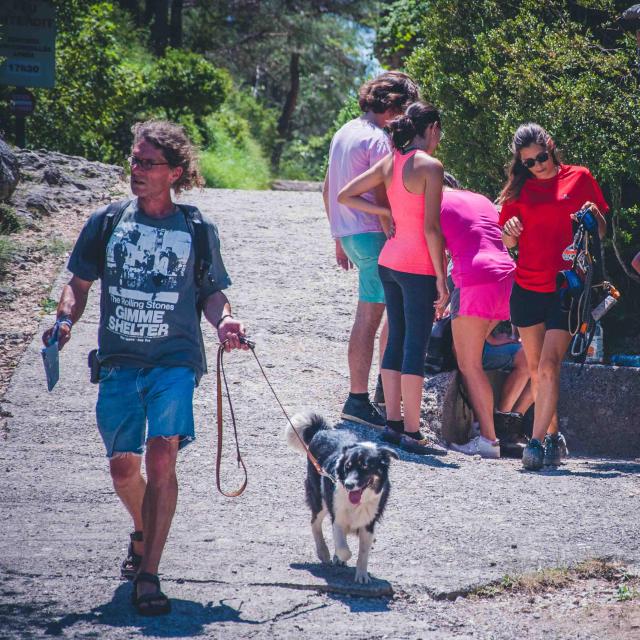
If you opt for the guided hike, your mountain guide will introduce you to the flora and fauna, geology and traditions of this exceptional preserved area.

To better understand this exceptional environment, hikers are offered:

  • 2 orientation tables,
  • 30 heritage panels in 5 languages (French, German, Dutch, English, Spanish),
  • ground markers,
  • picnic areas and a hiking map will be issued to you at the site entrance.
Good to know:

To better understand this exceptional environment, hikers will find:

  • 2 orientation tables,
  • 30 heritage panels in 5 languages (French, German, Dutch, English, Spanish),
  • ground markers,
  • picnic areas and a hiking map will be issued at the site entrance.


For more information on the site:

Round off your discovery of the chaos with a ride on a mini-train or a via ferrata for those in search of thrills and adrenalin!

Close