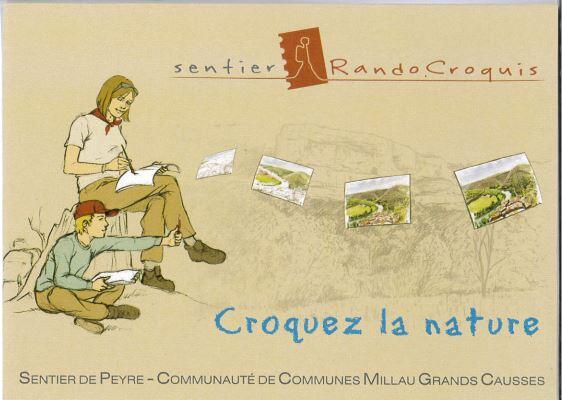
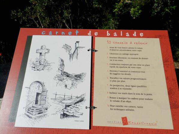
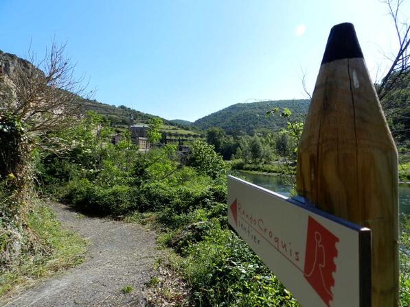
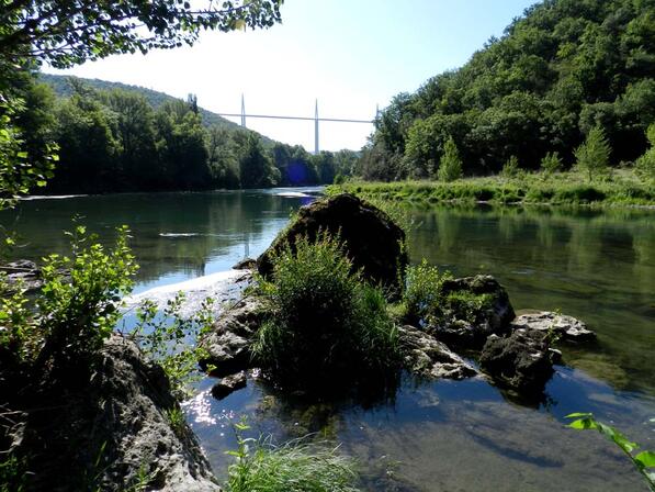
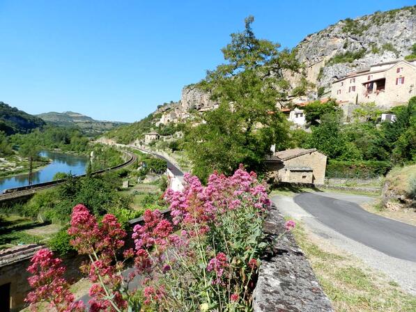
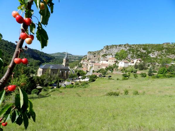
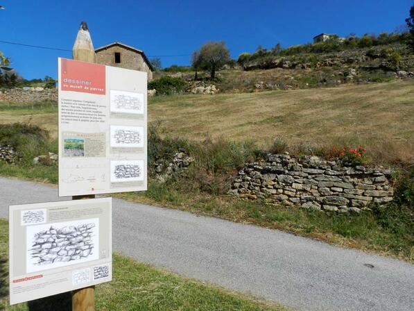
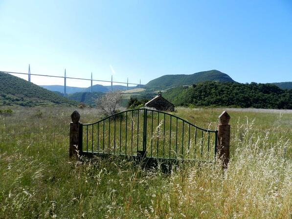
RANDO Sentier Randocroquis de Peyre
Walking/pedestrian
in Comprégnac
5.3
km
Walking/pedestrian
2h
Medium
- Departure
- Comprégnac
-
-
Difference in height
- 229.52 m
-
-
-
Documentation
- GPX / KML files allow you to export the trail of your hike to your GPS (or other navigation tool)
-
- See all reviews
- Points of interest
1
2

3
4
5

6
7

8

9

10

11

12

13
14
15
16

17

18

19

20

21
22

23

24

- 230 meters of difference in height
-
- Start altitude : 352 m
- End altitude : 352 m
- Maximum altitude : 520 m
- Minimum altitude : 339 m
- Total positive elevation : 230 m
- Total negative elevation : -230 m
- Max positive elevation : 102 m
- Min positive elevation : -170 m