defaultdefault
©default

Trail roaming

Grand Causses Espace Trail n°23

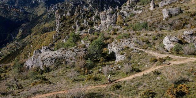
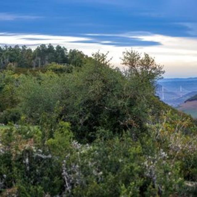
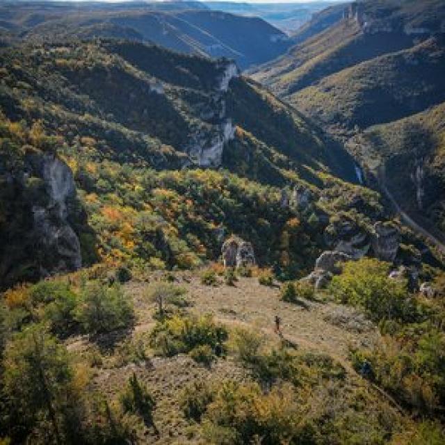
Inspired by the Grand Trail des Templiers, this 120km route links some of the most beautiful sections of the Espace Trail between the Gorges du Tarn and the Plateau du Larzac.

120 km 4290 mD+ touring

We’re in awe of the performance of ultra-trailers, thinking we’d never be able to accomplish such feats.
We suggest you do…. If the challenge appeals to you, you can attempt the adventure in 1, 2, 3 or 4 days.

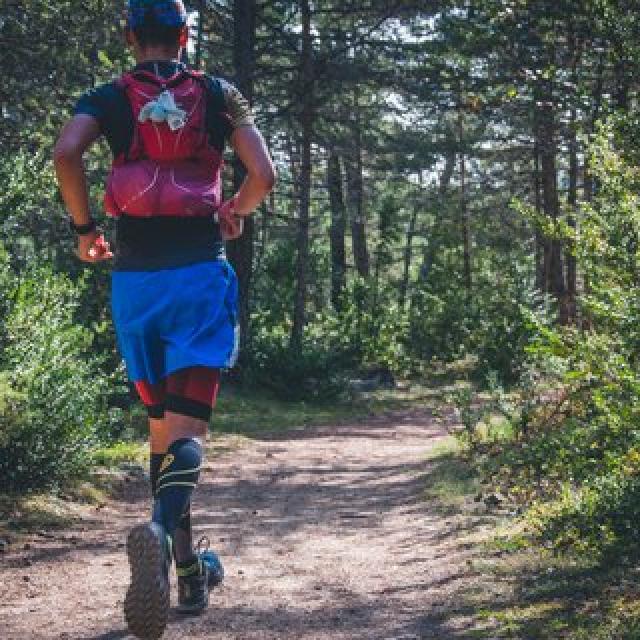
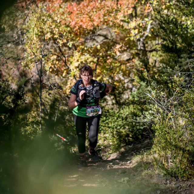
Of course, such a distance takes preparation, but here, no time barriers, no stopwatches; we’ll just enjoy the landscapes and trails trodden on a certain October weekend by warriors named Templiers.

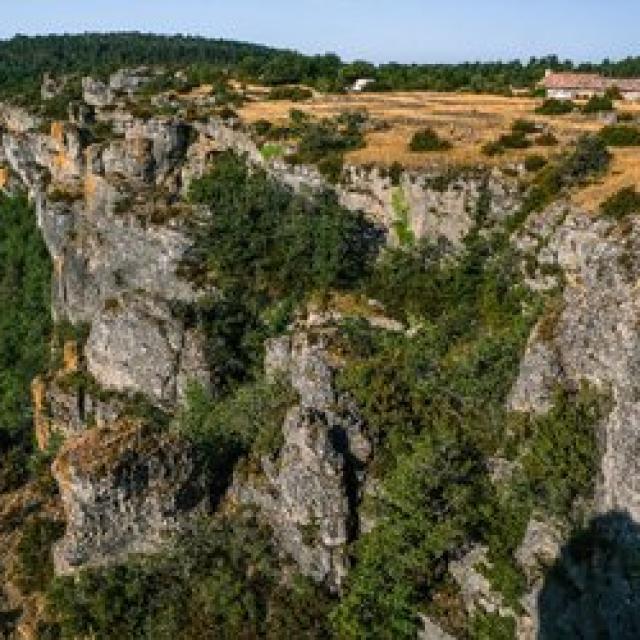
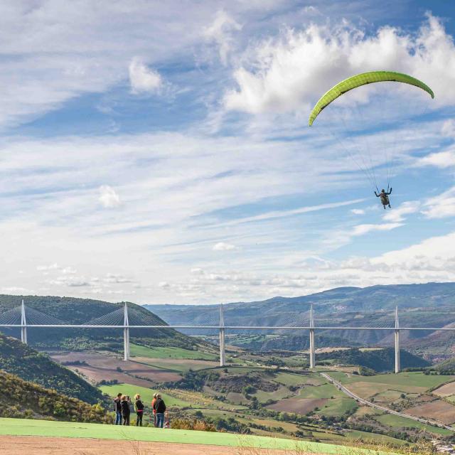
Starting from Millau, we attack the Dourbie valley via the Tarn ledges until we reach Le Rozier and Peyreleau. From there, we climb the Causse Noir to Veyreau, then cross the plateau to descend to the mid-slope of the Dourbie gorges, before climbing back up and making a short passage through the Gard.
Return to Aveyron via Cantobre to Nant for a well-deserved break …
Remounting on the mythical Larzac, its farms, its buissières then the descent to the famous côte de Massebiau, a tour by the Cade then a last look from above before reaching Millau after a ride … 120 km.
 

4 steps

1From Millau to PeyreleauFrom Millau to Peyreleau
  • Difficult -
    4h30 -
    25,1km -
    +1212m -
    -1131m -
    Stage -
    Grands Causses Espace Trail

Cyrille Quintard Templier 2022 59154 0cnj83k6dvnv.jpg.400x0 Q85Cyrille Quintard Templier 2022 59154 0cnj83k6dvnv.jpg.400x0 Q85
©Cyrille Quintard Templier 2022 59154 0cnj83k6dvnv.jpg.400x0 Q85
2From Peyreleau to RevensFrom Peyreleau to Revens
  • Difficult -
    6h30 -
    37.5km -
    +0m -
    0m -
    Stage -
    Grands Causses Espace Trail

Festival Des Templiers 007 2018alexandre Humbert Zhl0xnkp5nft.jpg.400x0 Q85Festival Des Templiers 007 2018alexandre Humbert Zhl0xnkp5nft.jpg.400x0 Q85
©Festival Des Templiers 007 2018alexandre Humbert Zhl0xnkp5nft.jpg.400x0 Q85
3From Revens to MontredonFrom Revens to Montredon
  • Difficult -
    4h30 -
    25km -
    +1148m -
    -1079m -
    Stage -
    Grands Causses Espace Trail

Trail Causse Des Cuns St Sauveurcp Virginie Govignon Otlarzacvallees.jpg.400x0 Q85Trail Causse Des Cuns St Sauveurcp Virginie Govignon Otlarzacvallees.jpg.400x0 Q85
©Trail Causse Des Cuns St Sauveurcp Virginie Govignon Otlarzacvallees.jpg.400x0 Q85
4From Montredon to MillauFrom Montredon to Millau
  • Difficult -
    6h -
    34.5km -
    +1322m -
    -1819m -
    Stage -
    Grands Causses Espace Trail

Gregalric 0067 Jm3qg6muchlh.jpg.400x0 Q85Gregalric 0067 Jm3qg6muchlh.jpg.400x0 Q85
©Gregalric 0067 Jm3qg6muchlh.jpg.400x0 Q85

Practical info

  • Starting point

    Parking de la Pouncho, rond point du confluent

    (GPS: N44.103437, E3.088482)

  • Practical

    All year round with no restrictions

  • Water point

    Yes, all along the route. See topo.

  • Useful equipment
    • 1.5l minimum water supply
    • sufficient energy supply
    • rain gear
    • survival blanket
    • mobile phone
    • sticks
    • small first-aid kit
    • GPS
    • headlamp
    • warm clothing
  • Points of interest
    • Croix de Paulhe
    • Champignon Préhistorique
    • Ermitage Saint Michel
    • Arche et ferme de Roquesaltes
    • Corniches du Rajol
    • Hameau de Montméjean
    • Hameau de de Saint Véran
    • Village de Cantobre
    • Roc Nantais
    • Buissières du Larzac
    • Ferme du Cade
    • Aide de décollage de la Pouncho d’Agast
  • Parking

    In the roundabout in front of “La Pouncho” restaurant

  • Accommodation, catering, retail

    It is strongly advised to check the availability of accommodation in advance of your stay.

    Go to the websites of the tourist offices involved in the Itinerancy passage:

Close